Buttermilk Falls
The Delaware Water Gap
New Jersey side
Walpack Township, NJ
Top Places to see in the Philadelphia Area before you die.
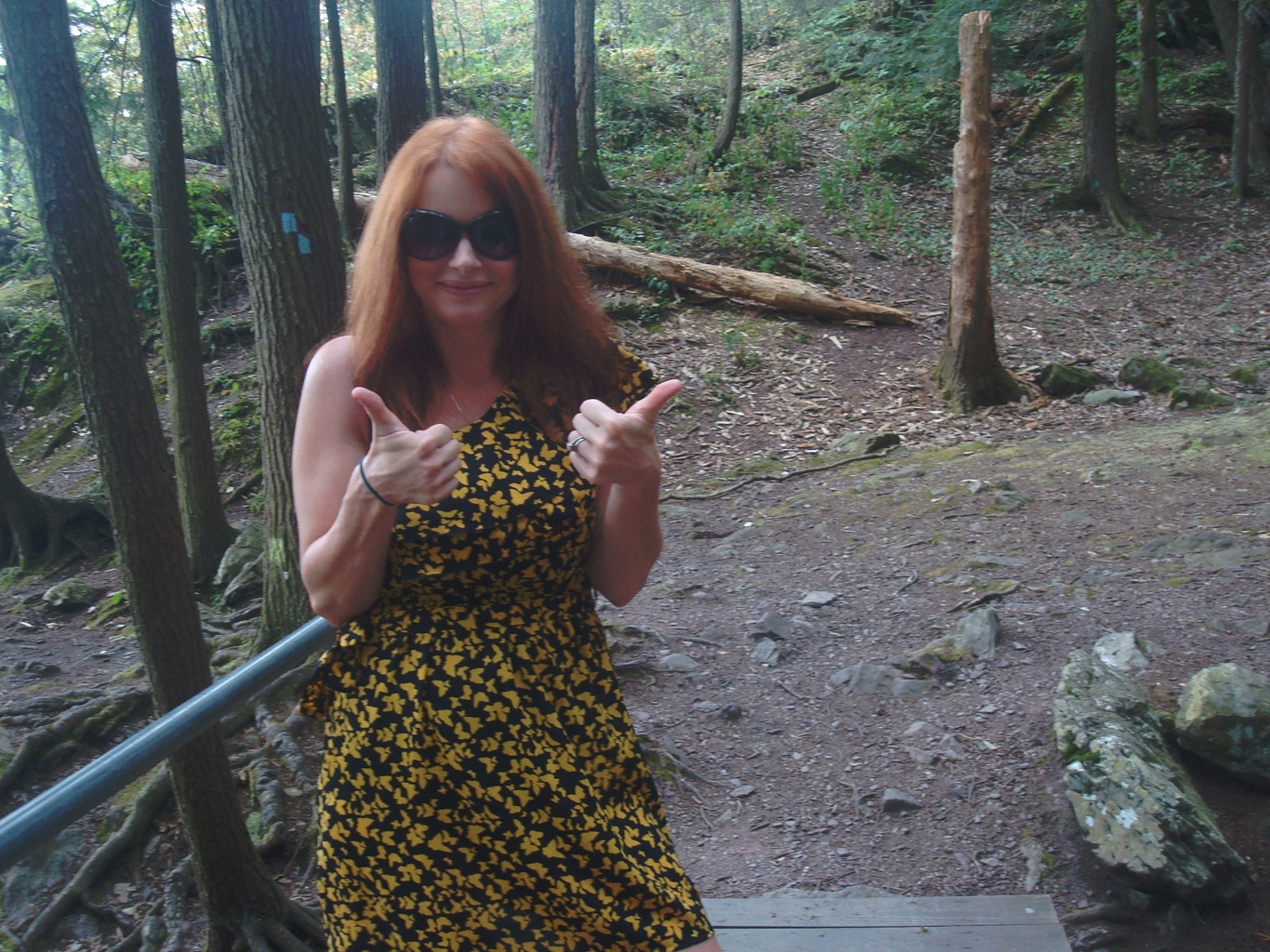
Yummygal giving her two thumbs up for the Delaware Water Gap
The Delaware Water Gap receives 3,000,000 visitors a year and I am going to show you why.
I am doing a 4 part series on the National Park. Here is part 1 of 4.
Nestled on the upper northwest corner of New Jersey, sits this magnificent treasure.
The Delaware Water Gap is about 2 hours from New York or Philadelphia encompassing nearly 70,000 acres. It is the 14th most visited site in the United States. They believe the National Park was created millions of years ago from major uplift and erosion through glacial activity. This natural event over time has created gorgeous streams, lakes, and rhododendron ravines that we enjoy today. The park sits at a higher elevation which makes it a cooler environment almost by 10 degrees in the summer than the rest of the state. Making this a nice getaway from the heat in the city.
Buttermilk Falls in the Delaware Water Gap
The Old Mine Rd. that runs north and south through the park can be traced back to 8,000 years ago.
It is one of the oldest roads remaining on the east coast. It travels from New England to Philadelphia in almost the same laid out roadway as thousands of years prior.
The Old Mine Road was used as a major thoroughfare in colonial times for the mining of the copper mines that reside on either side of the road.
The Delaware Water Gap has also played a major role in our history. Especially, during the revolutionary and civil wars. There are cemeteries residing here of rested soldiers from both conflicts. The cemeteries have become overgrown with weeds.
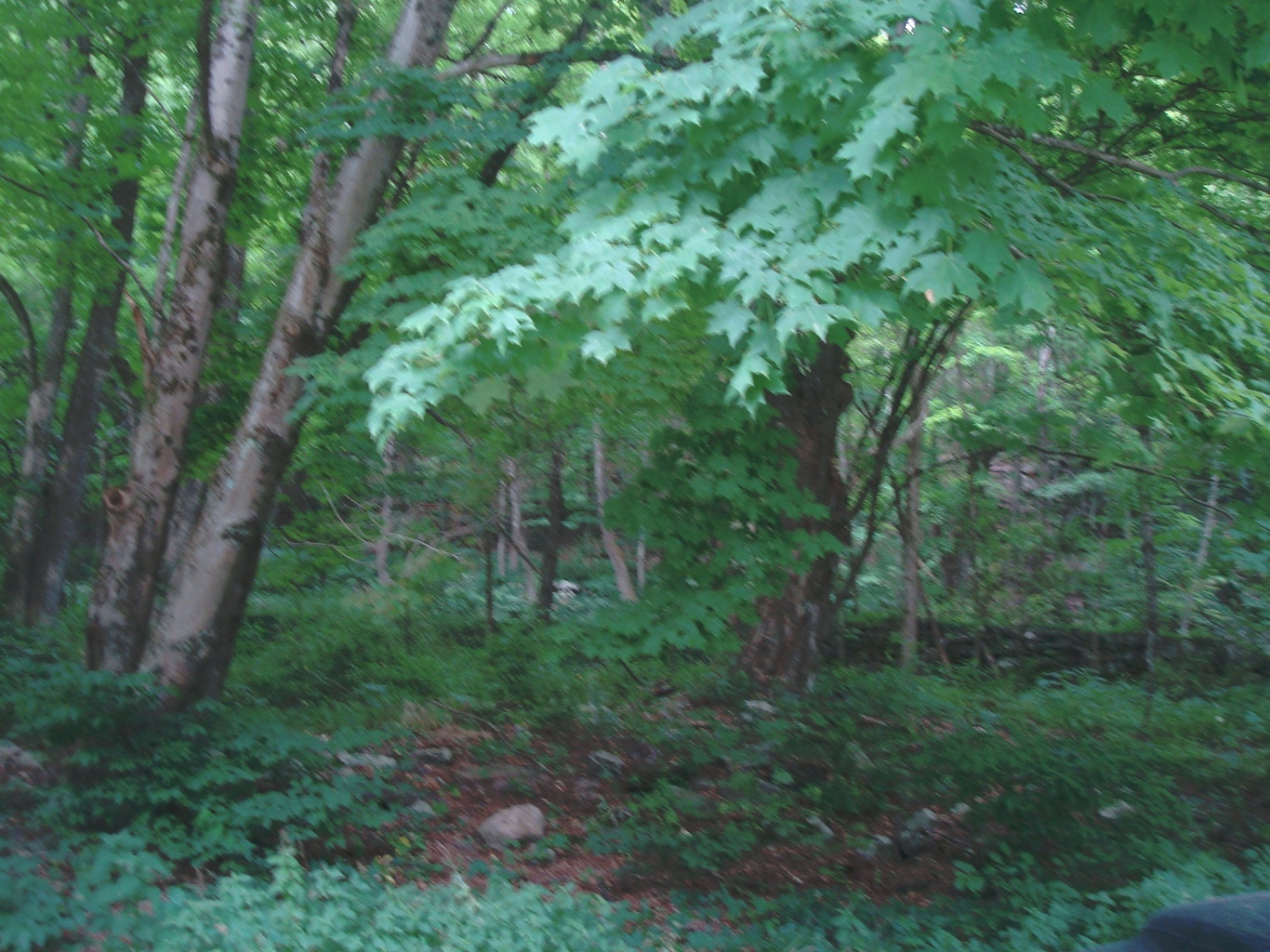
Forest Canopy in the summer
This National Park has also been one of the first movements in the US. for environmental conservancy. In the 1960s, the army corp of engineers were going to build a dam to generate electricity upriver. This project would have made the gap area a big 20+ mile long lake. People were actually removed out of their homes through eminent domain to build this dam.
However, there was a huge public outcry in this matter. It occurred over a few years of fighting congress and the senate. The battle was won by conservancy organizations and was issued a National Park by President Johnson in 1965.
NJ Paradise
Presently it is the home to many resorts, lakes, fishing, river, streams, waterfalls, boating, kayaking, canoeing, bathing, hiking, biking, train rides, black bears, camping, and the list goes on for your own discovering pleasure.
Recently, I went up with one of my girlfriends for a beautiful adventurous day. We wanted to check out the park in the smallest amount of time and decided to start north trickling down south for our journey. We started at Buttermilk Falls, the tallest waterfall in NJ. I entered Mountain Road in Walpack, NJ into my navigation unit. The GPS coordinates that the National Park Service gives on their site does not match up to this location. It actually shows a town in Pennsylvania, when the falls are located on the New Jersey side. This is your best bet to get here accurately.
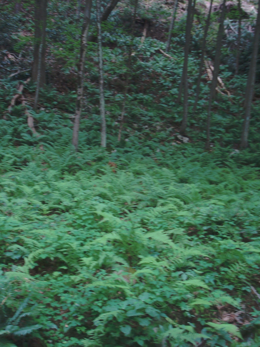
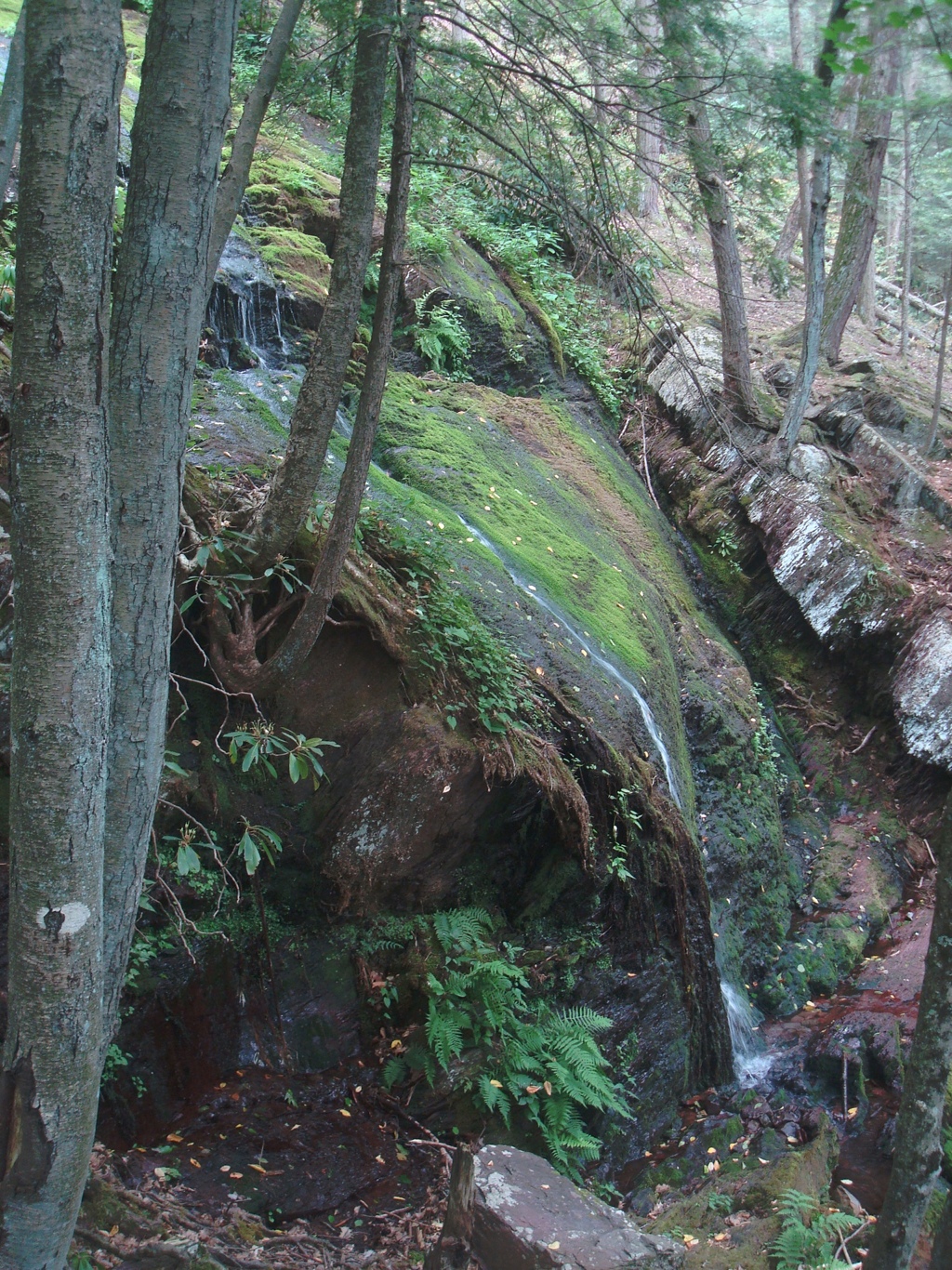
Ferns near Buttermilk Falls, NJ
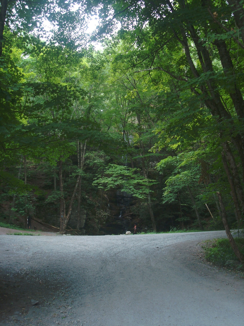
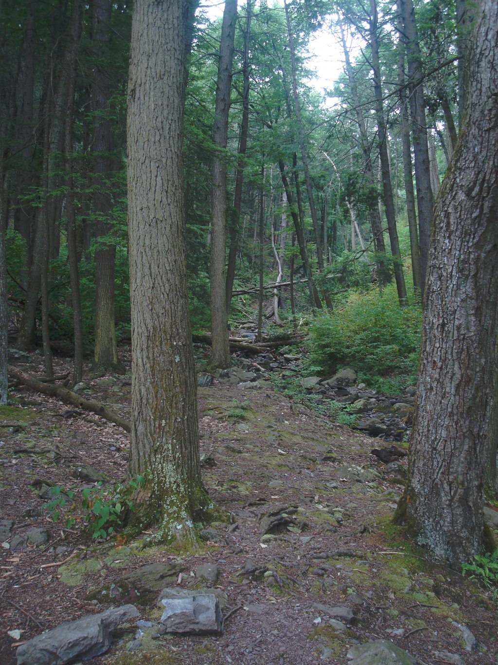
Your journey along is breathtaking as the forest and rolling hills wander on for miles of untouched beauty.
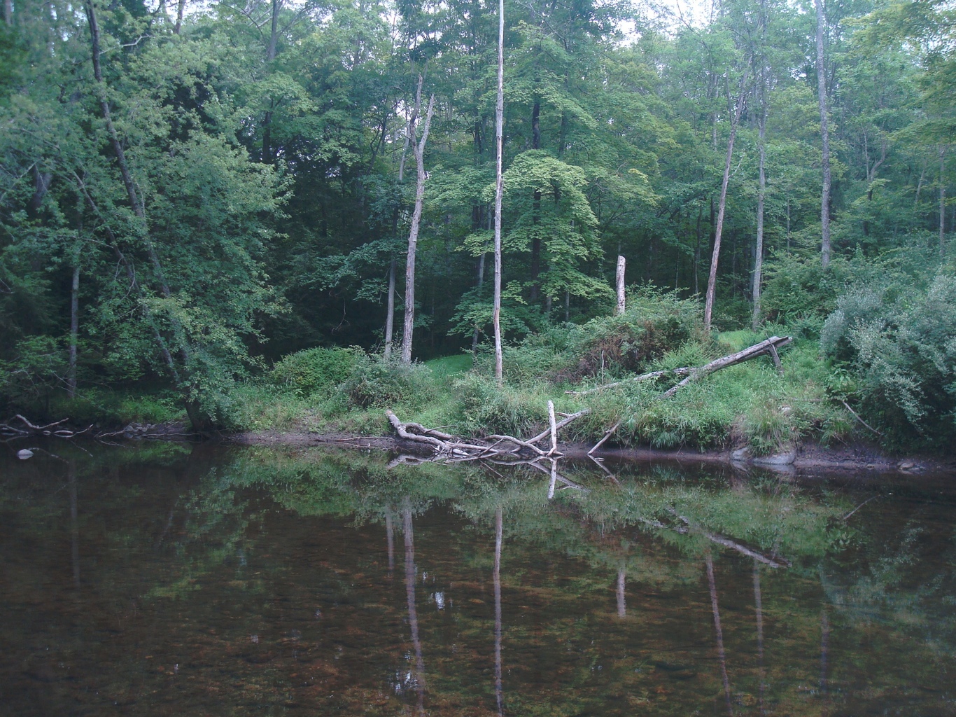
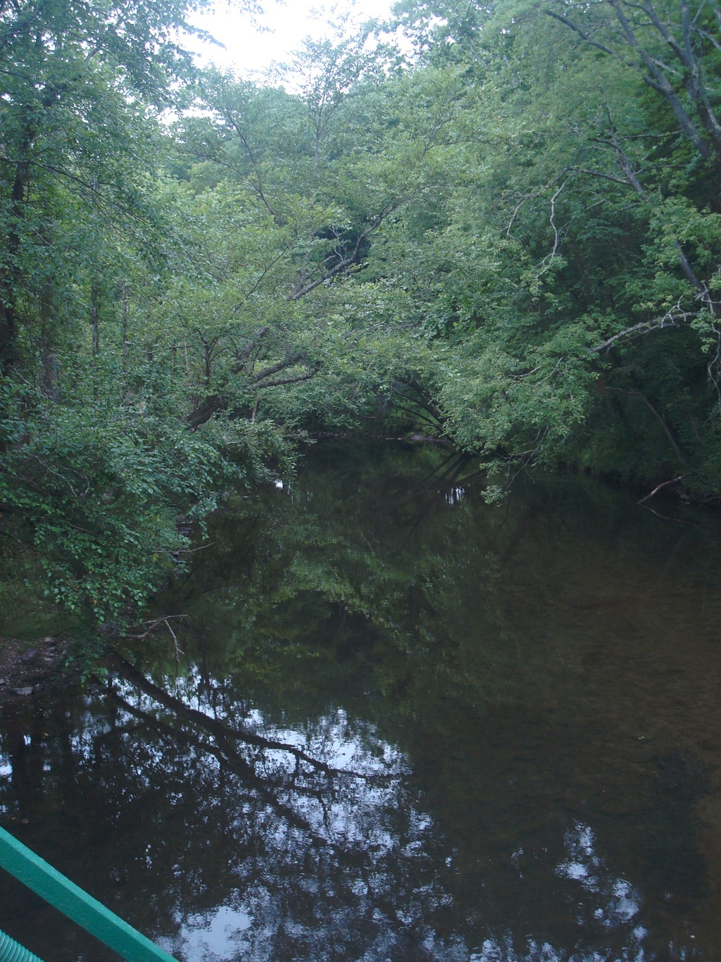
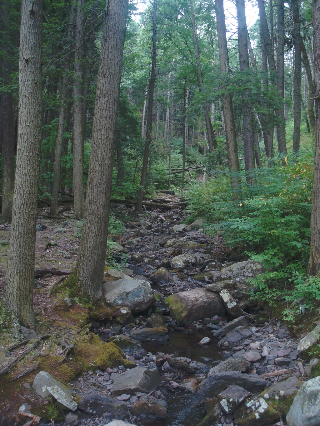
On Mountain Rd., there are many creeks and streams for the fishing enthusiast.

Stream on Mountain Rd. on your way to Buttermilk Falls
The water is clearer than any river source I’ve ever seen in New Jersey. I live within walking distance of the southern end of the Delaware River and it does not look like this.
In actuality, The Delaware River is the cleanest river in the eastern corridor.
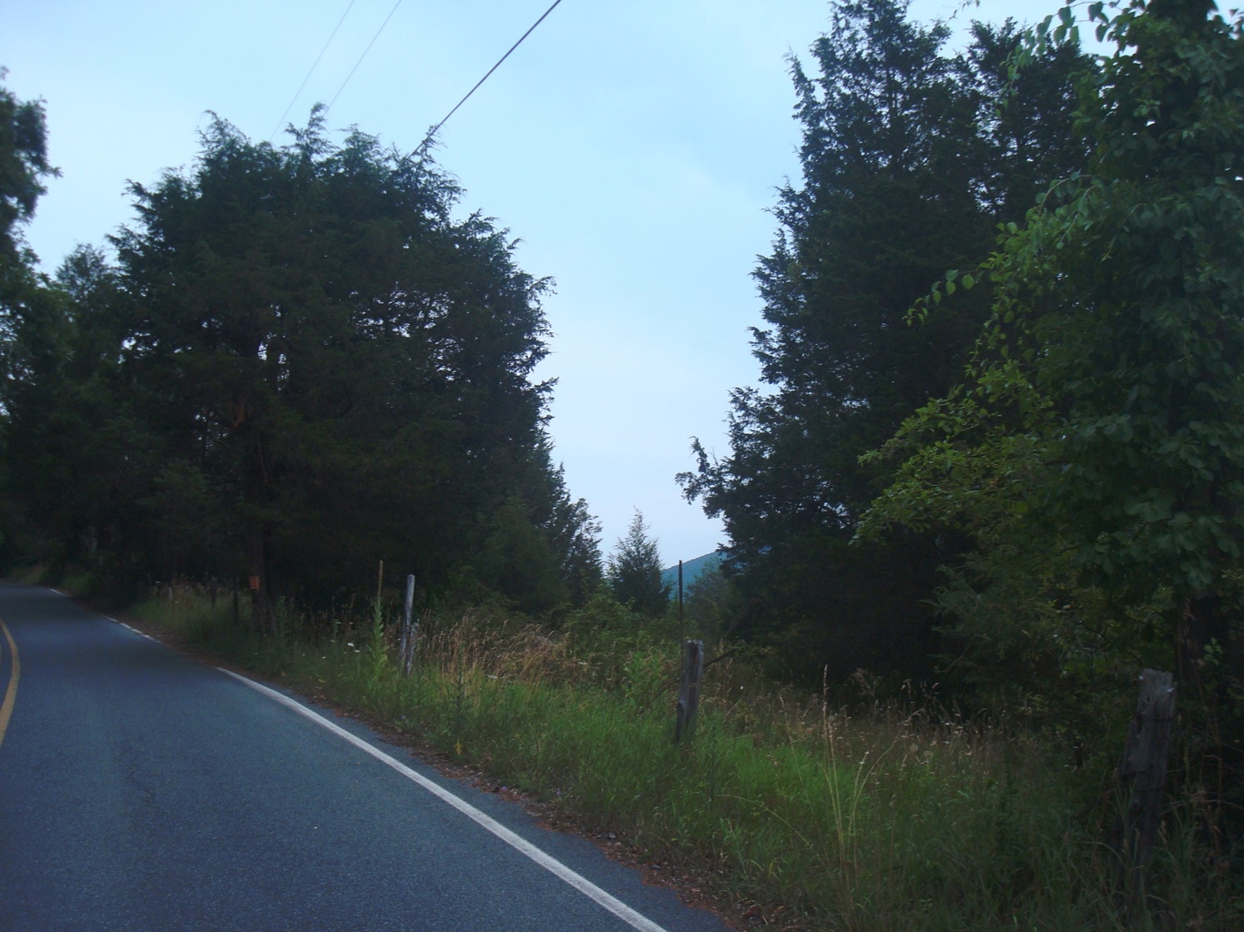
It’s a great drive in.
Beautiful Delaware Water Gap!
Your getting close my friends. Take in the fresh air and scenery.
Another picturesque shot of the Delaware Water Gap National Park
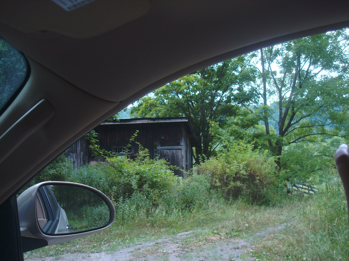
Eventually, you will come to rolling farm hills of days of old. Look to your right.
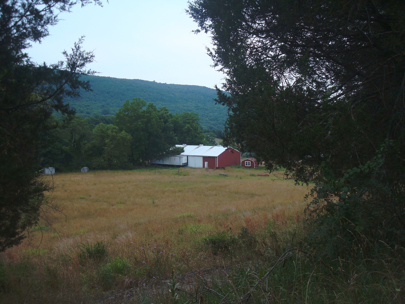
Farmhouse
Keep going until you reach the one lane bridge, and go onto the bridge.

Bridge to Buttermilk Falls
Make sure no cars are coming so you can get another picture and you can get across.
Remember, one car only at a time!
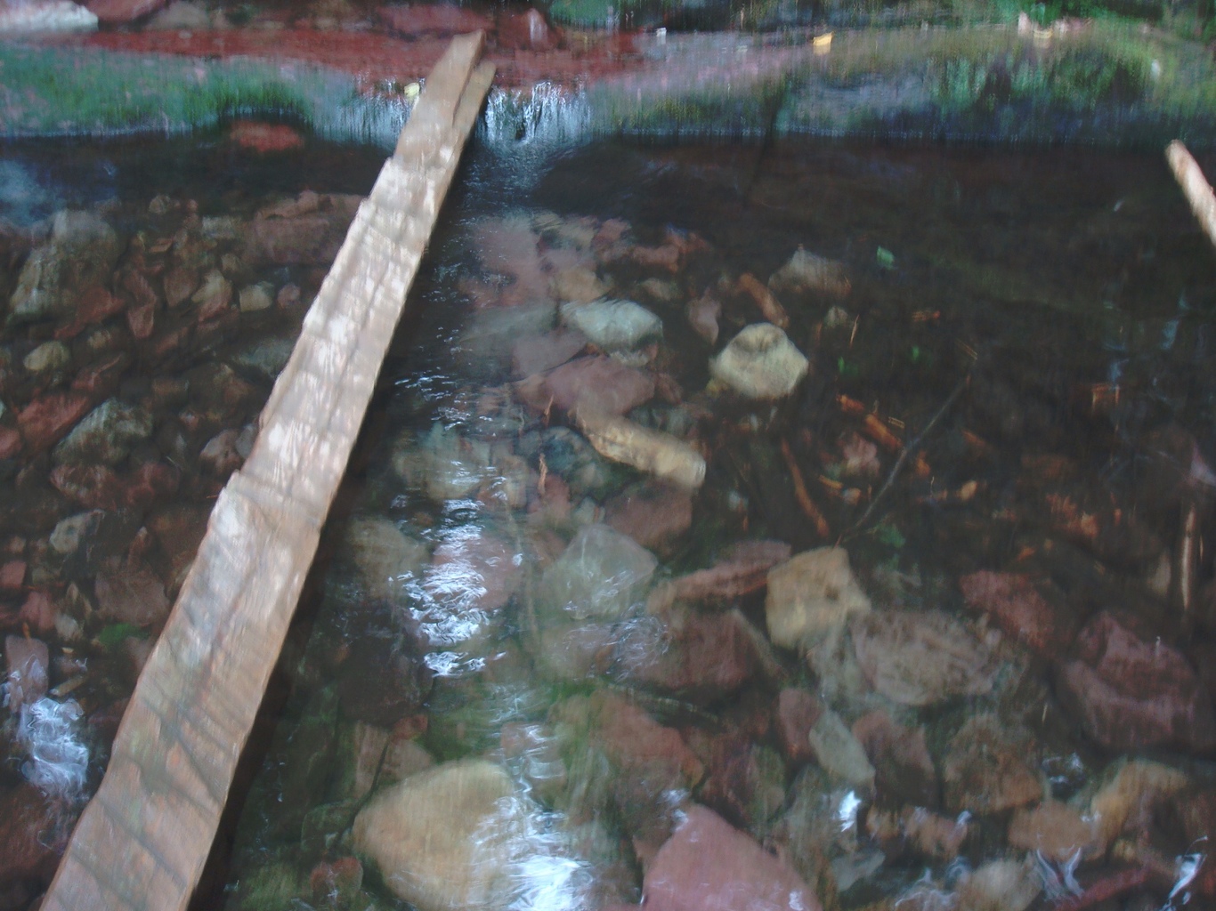
Shot of the stream below the bridge
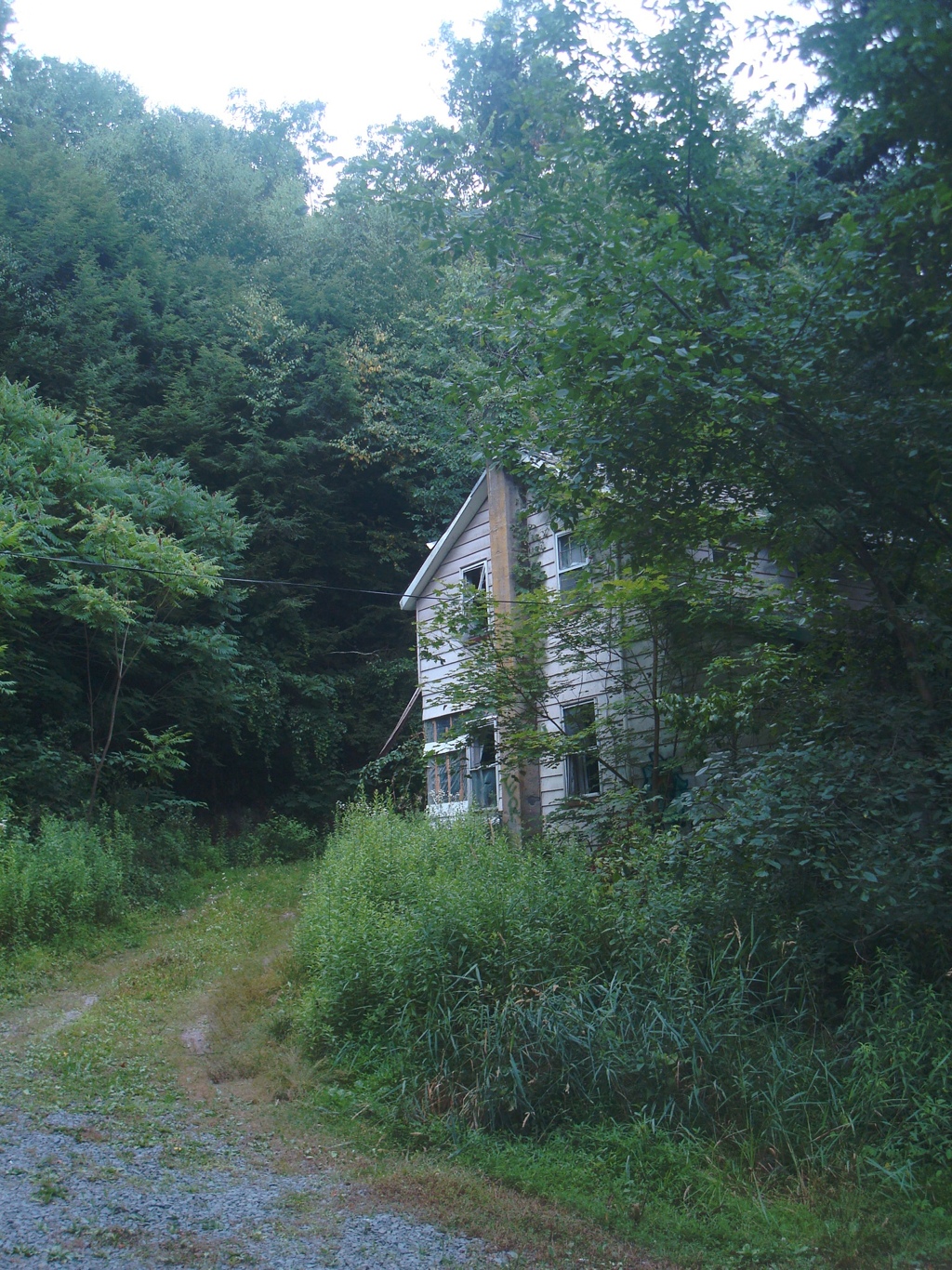
You’ll eventually see this to your left, by now the road is dirt/gravel and no longer paved.

Extremely gorgeous.
You will come up to these ruins and then you will shortly know you are getting to Buttermilk falls.
Old Ruins
This will be on your right and then Buttermilk falls will be just ahead.
More ruins
These homes were left in the 1960s when the government used their eminent domain power. No one has lived in them since then.
Keep going and shortly ahead you can park to the left.
You have reached Buttermilk Falls.
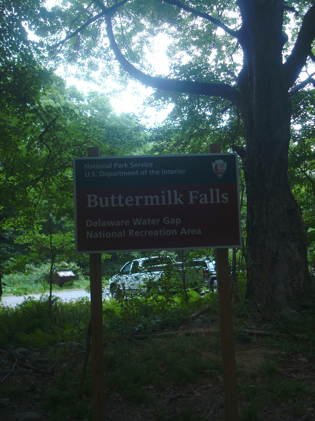
Obvious sign of Buttermilk Falls
I was here a decade ago. A lot has changed.
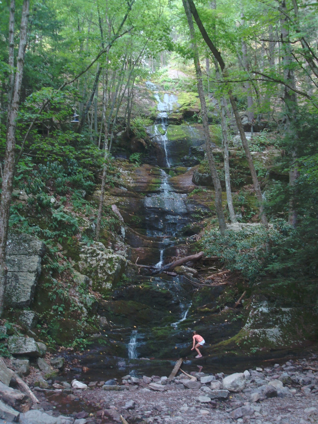
Buttermilk Falls, Delaware Water Gap
They have built in stairs that travel up the falls.

The stairs
The stairs are pretty steep. USE CAUTION while traveling up.
Another view at halfway up to the top of Buttermilk
They also offer great lookout decks along the stairs to the top of the falls.

The very top of the falls with one of the lookout decks
Top of the Falls
Make your way back down and check out the falls again.
She’s a keeper
Make sure you make a pose at the falls…….
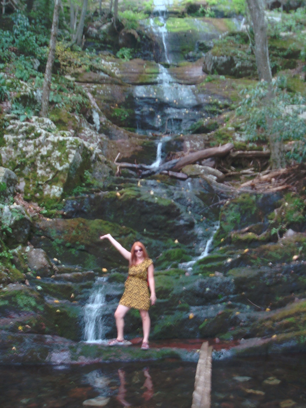
The biggest dork ever at Buttermilk Falls, Yummygal
The second biggest dork ever….
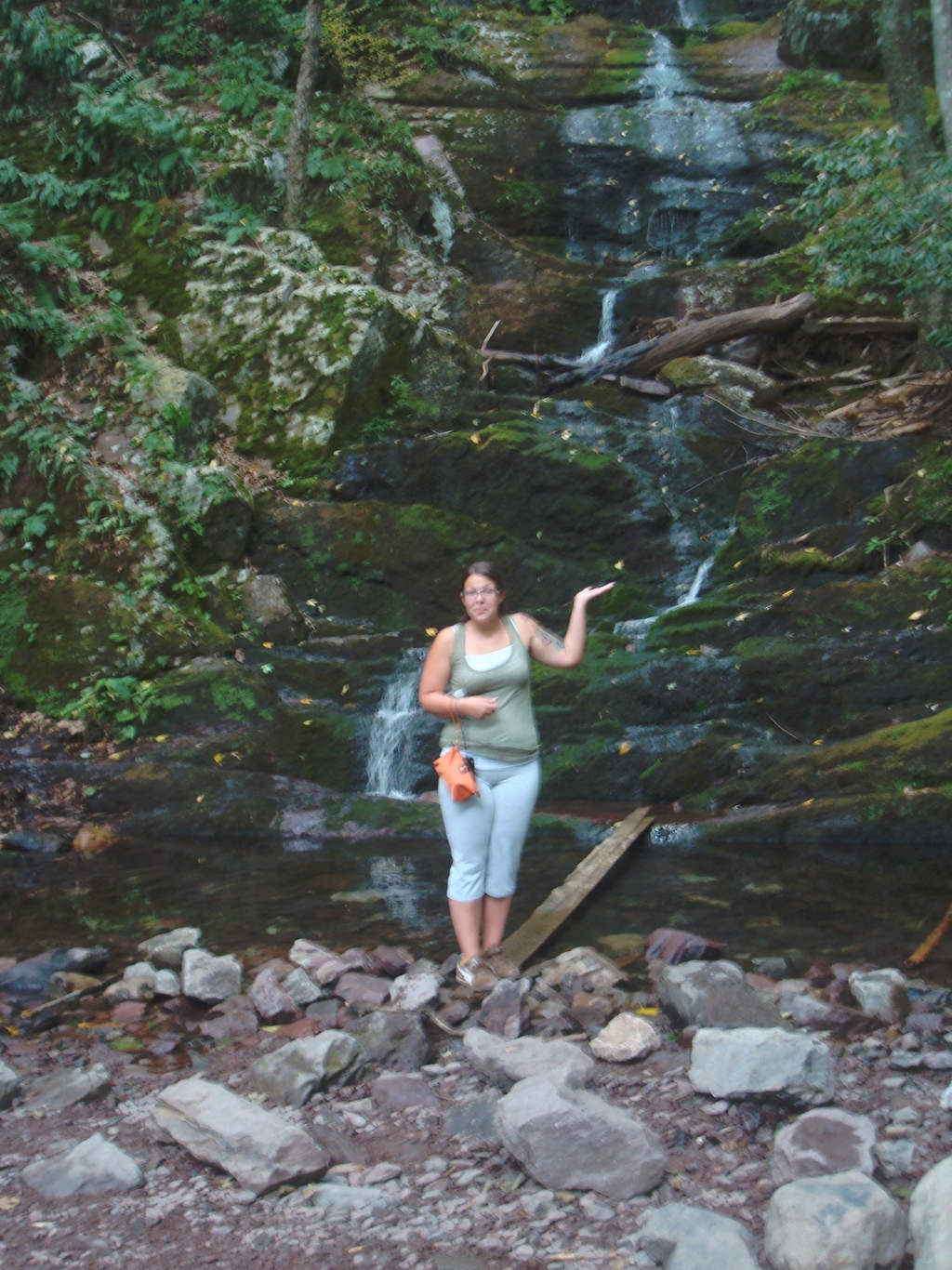
“thebeautyspots” she writes a blog about Harpers Ferry and her adventures in Tennessee and the south
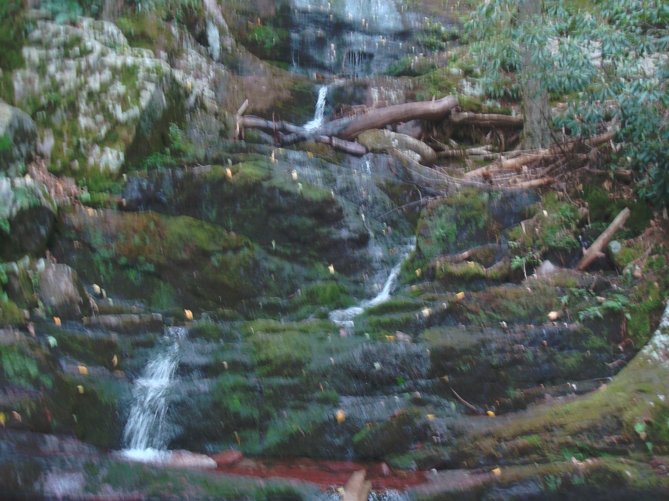
Here’s the clear water of the falls. There are also small fish in here.
The water at the bottom of Buttermilk Falls
Check it out and explore the area. You will not be disappointed!
I Will be featuring 3 more articles with 2 beaches and 1 is VERY private here in the park.
Stay tuned as I continue, The Delaware Water Gap series.
